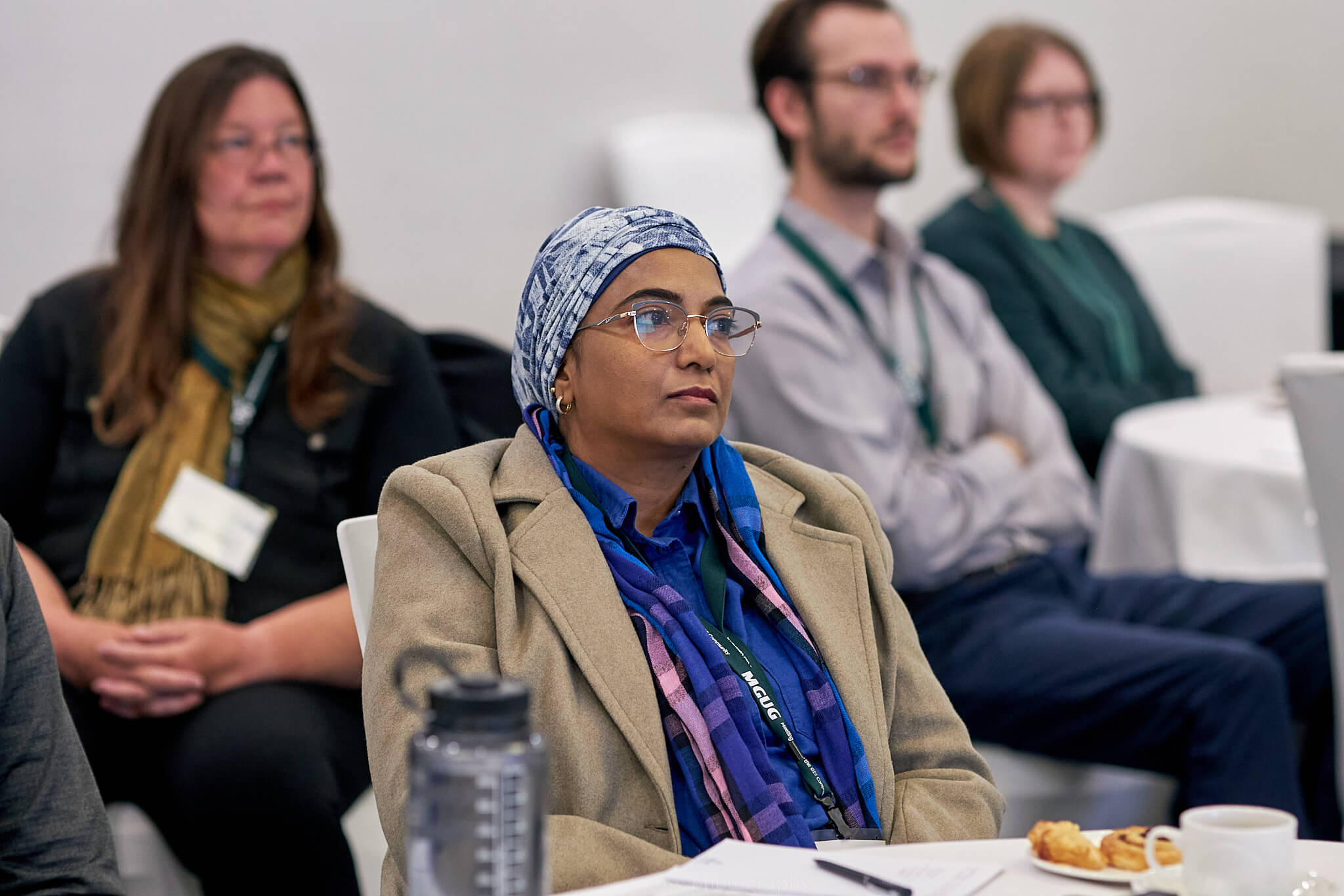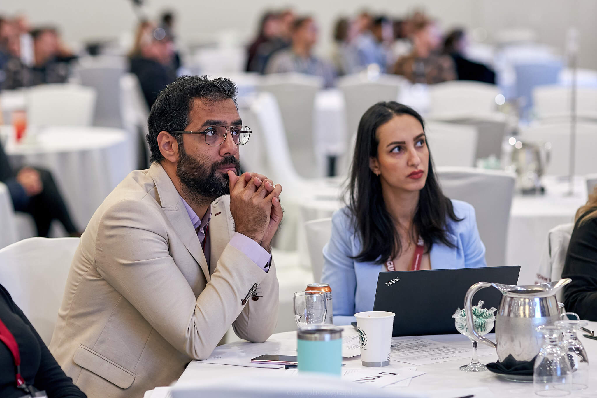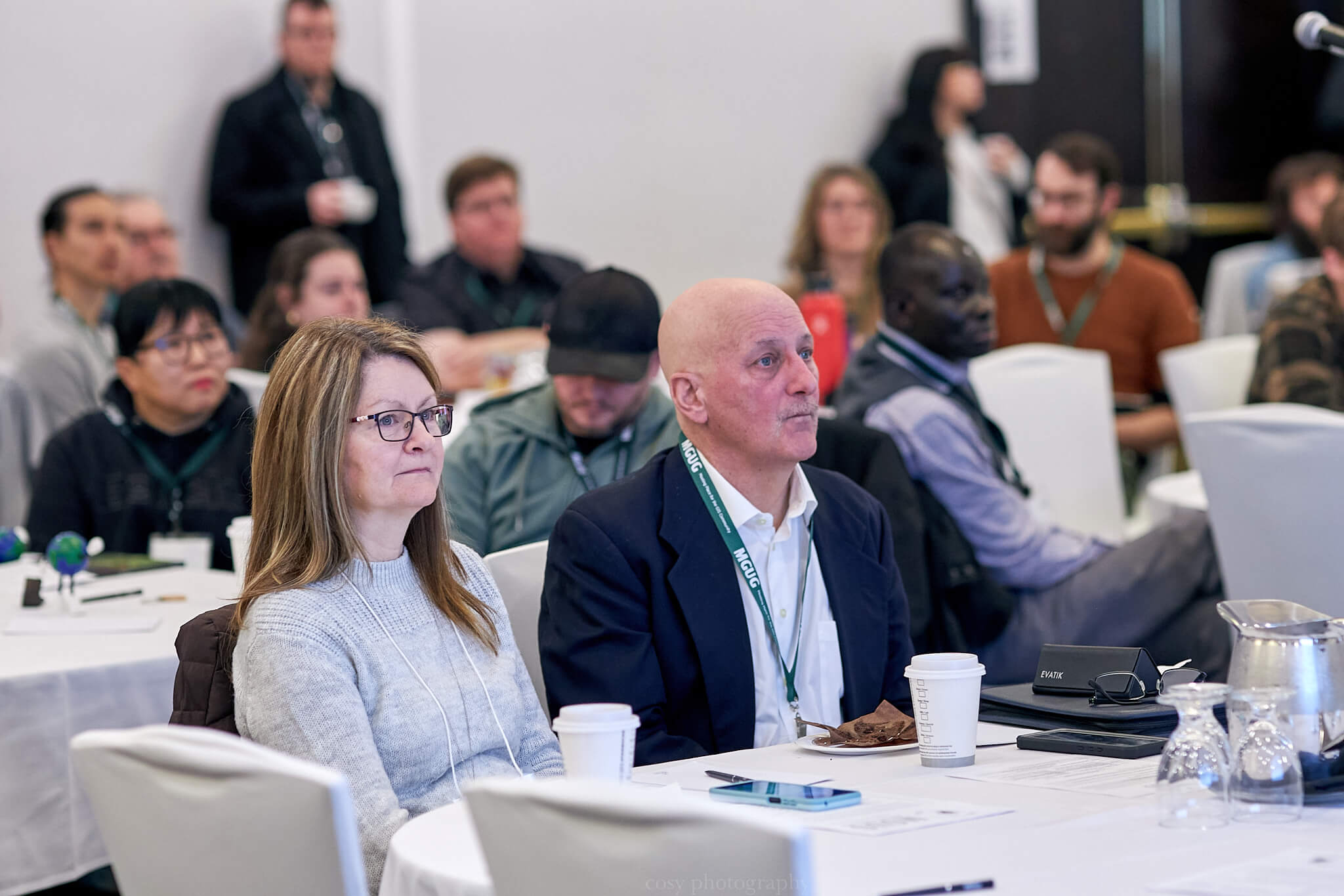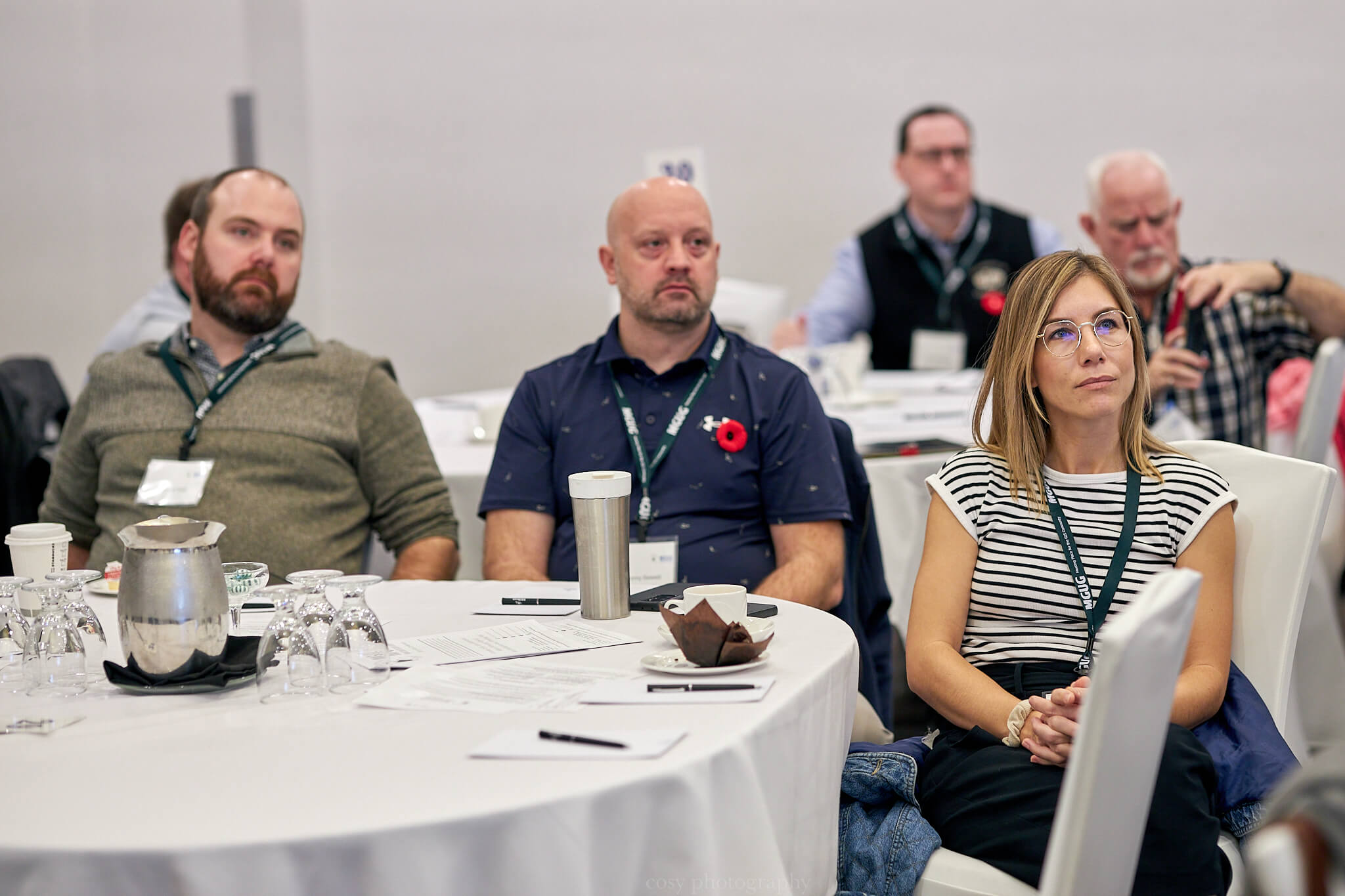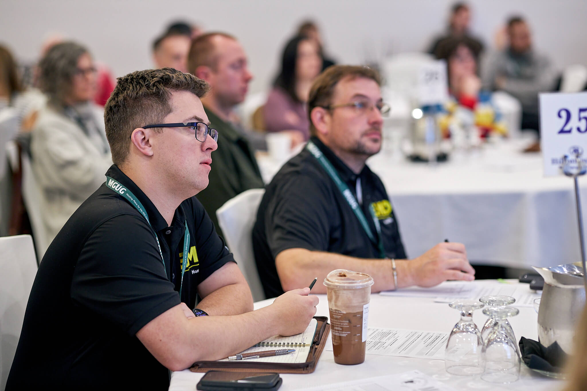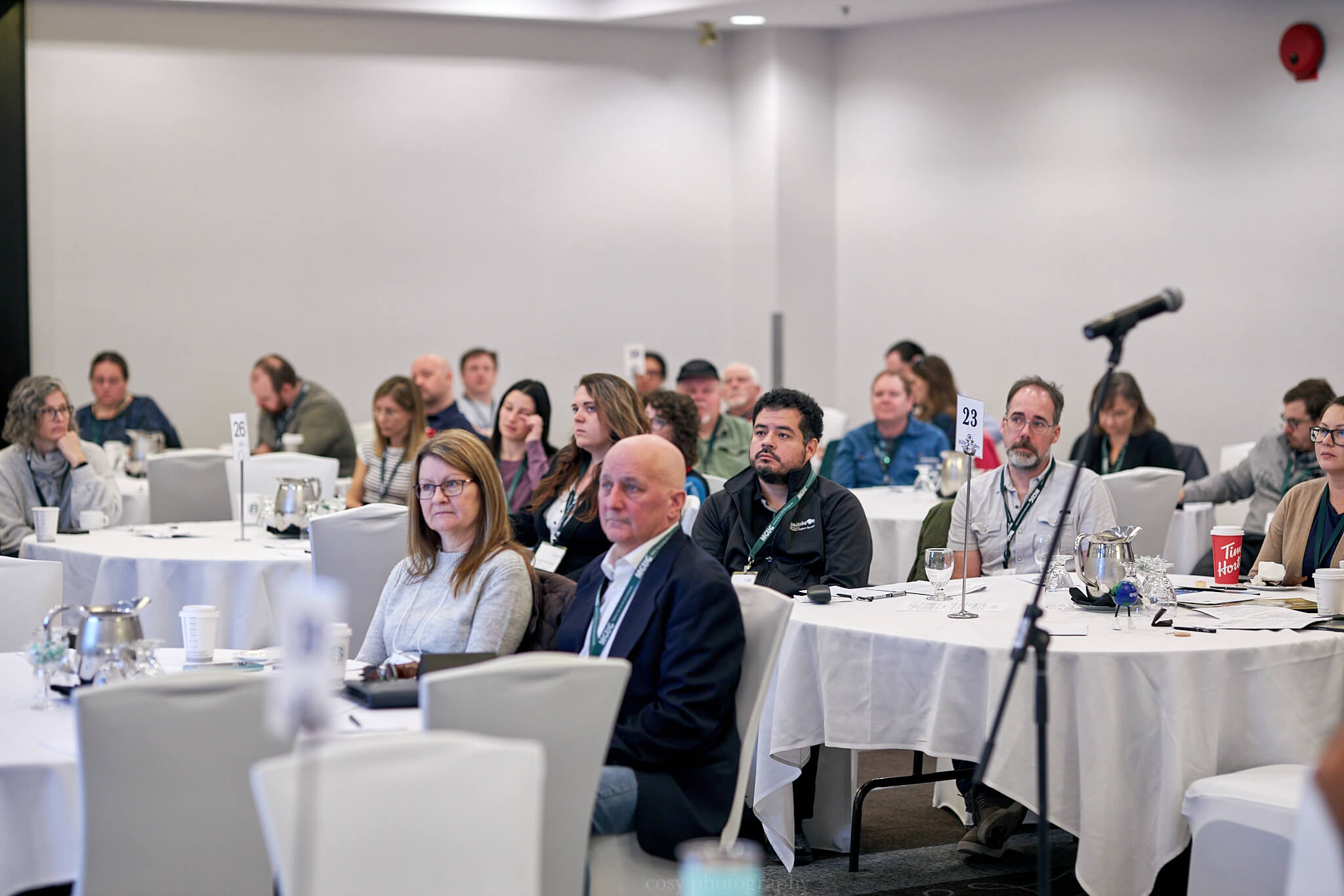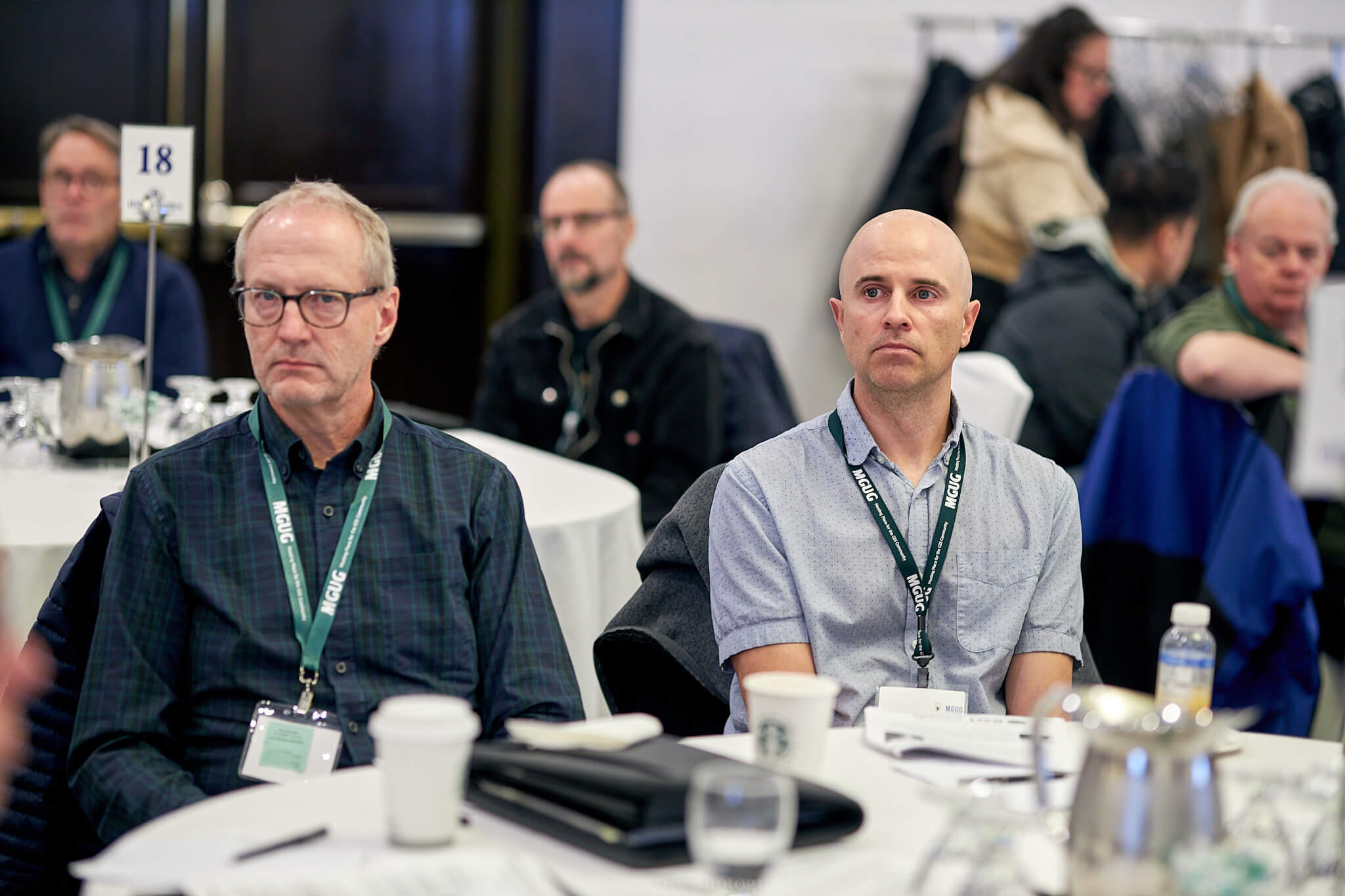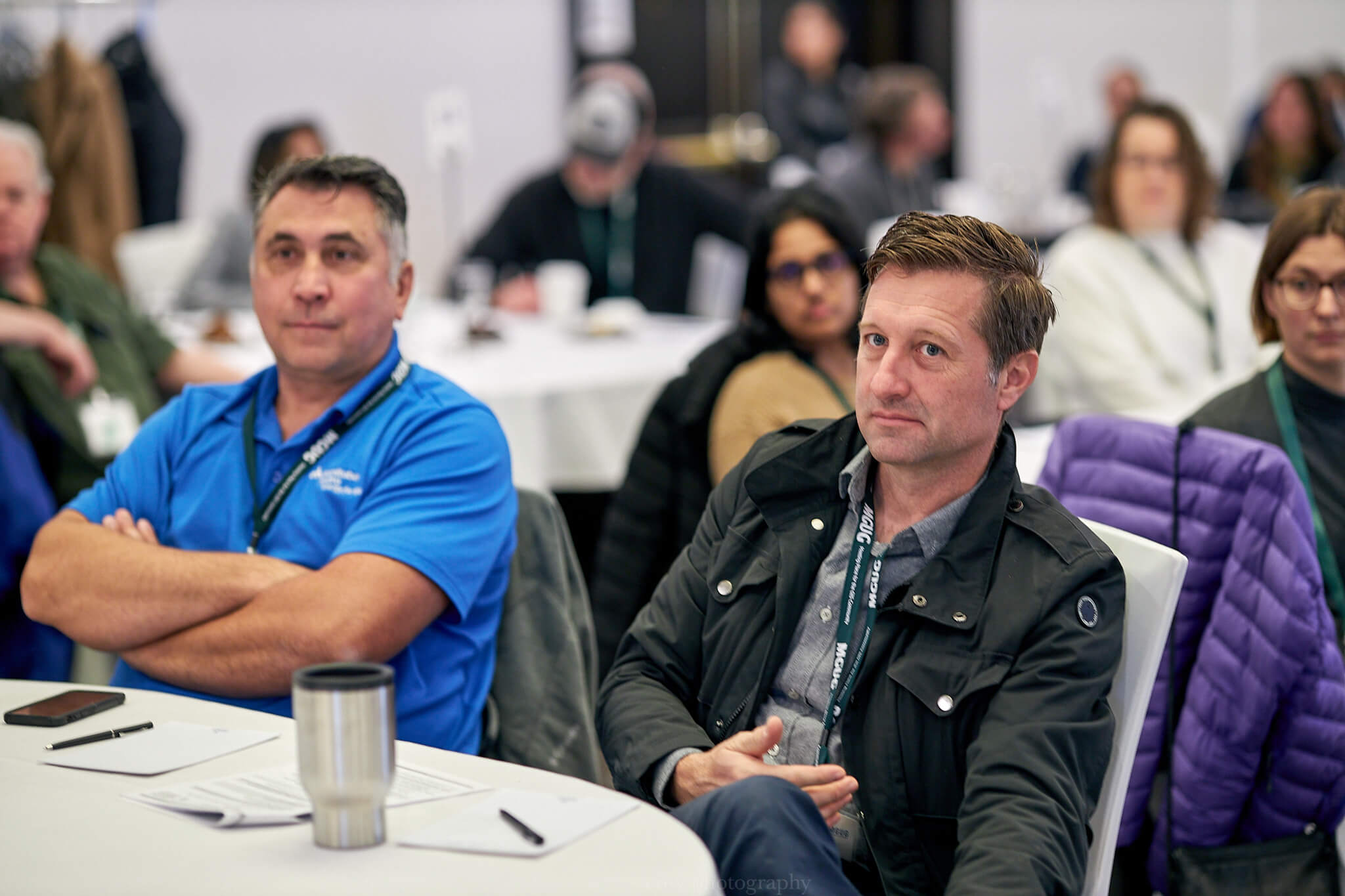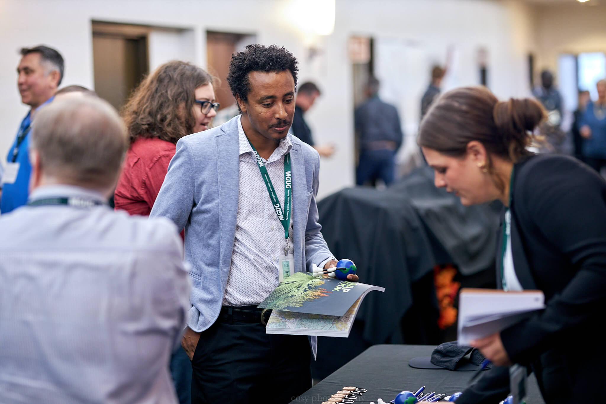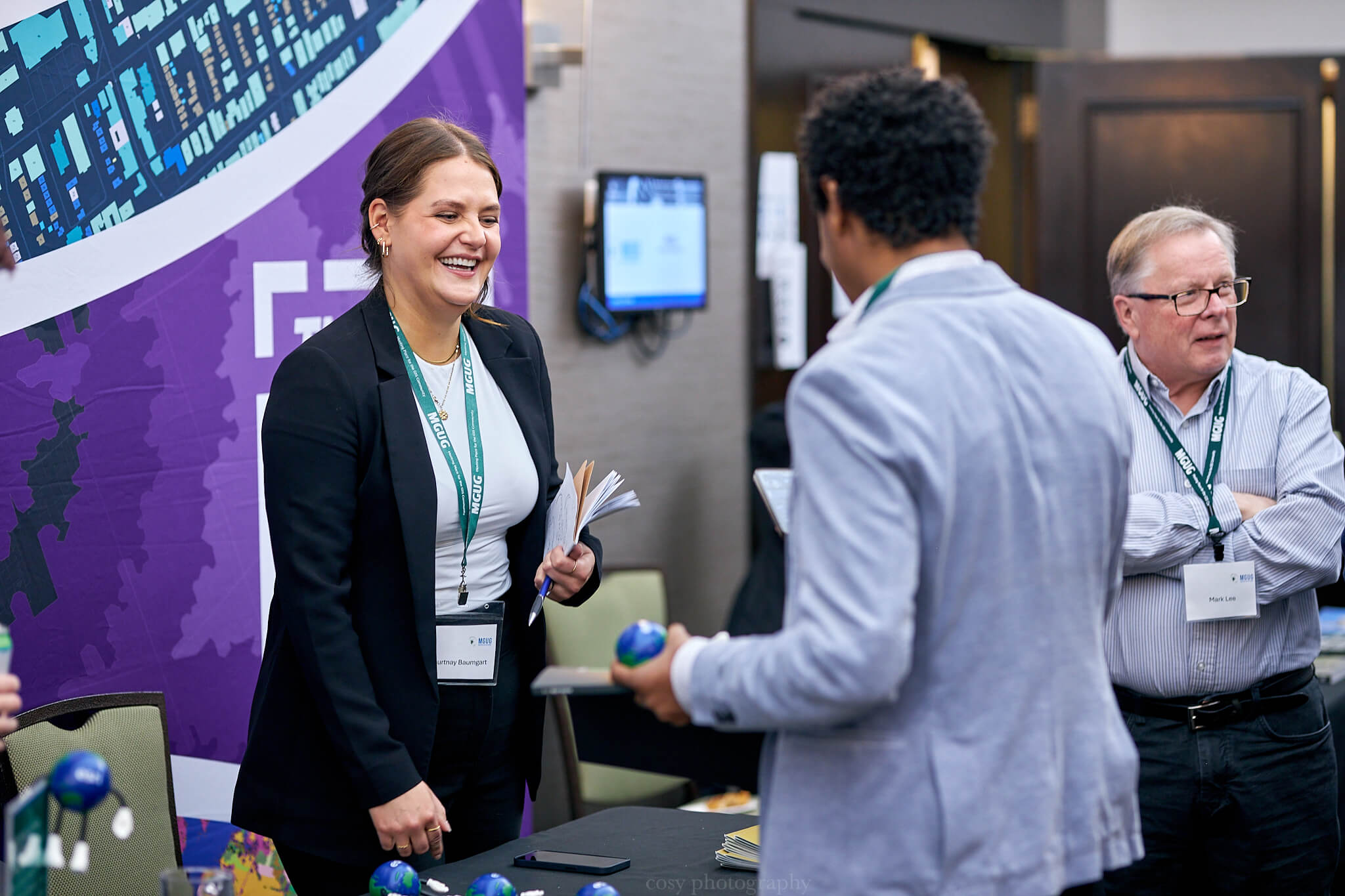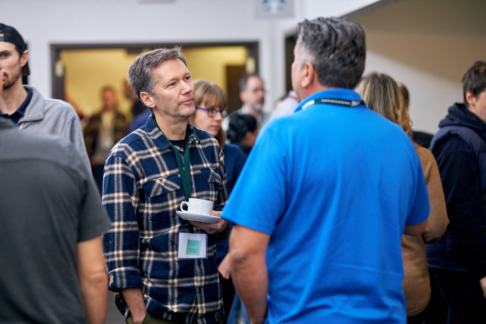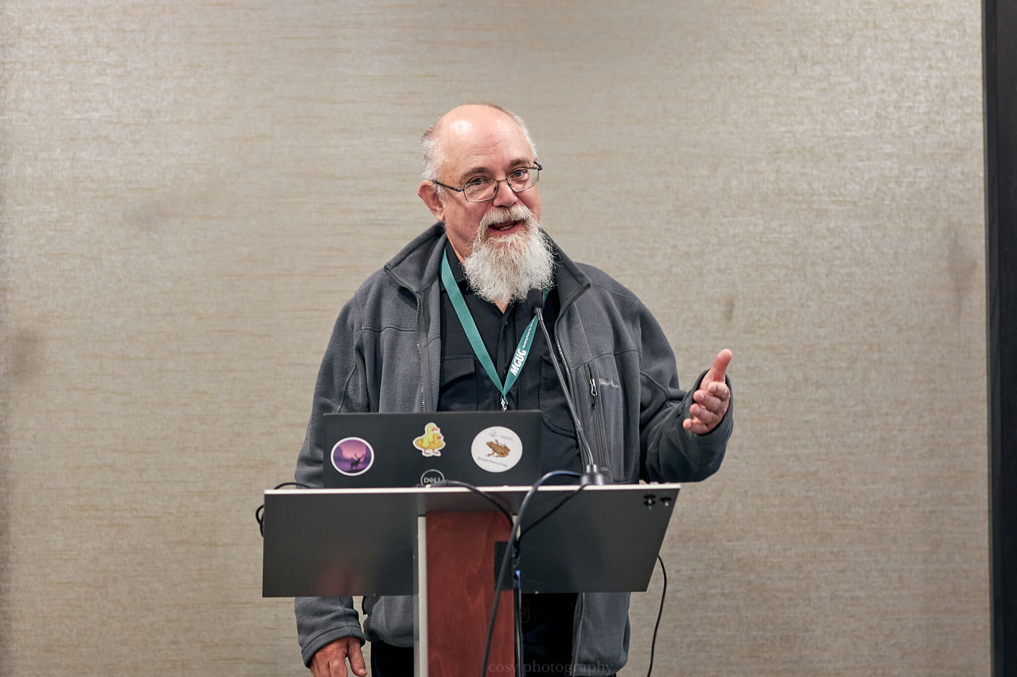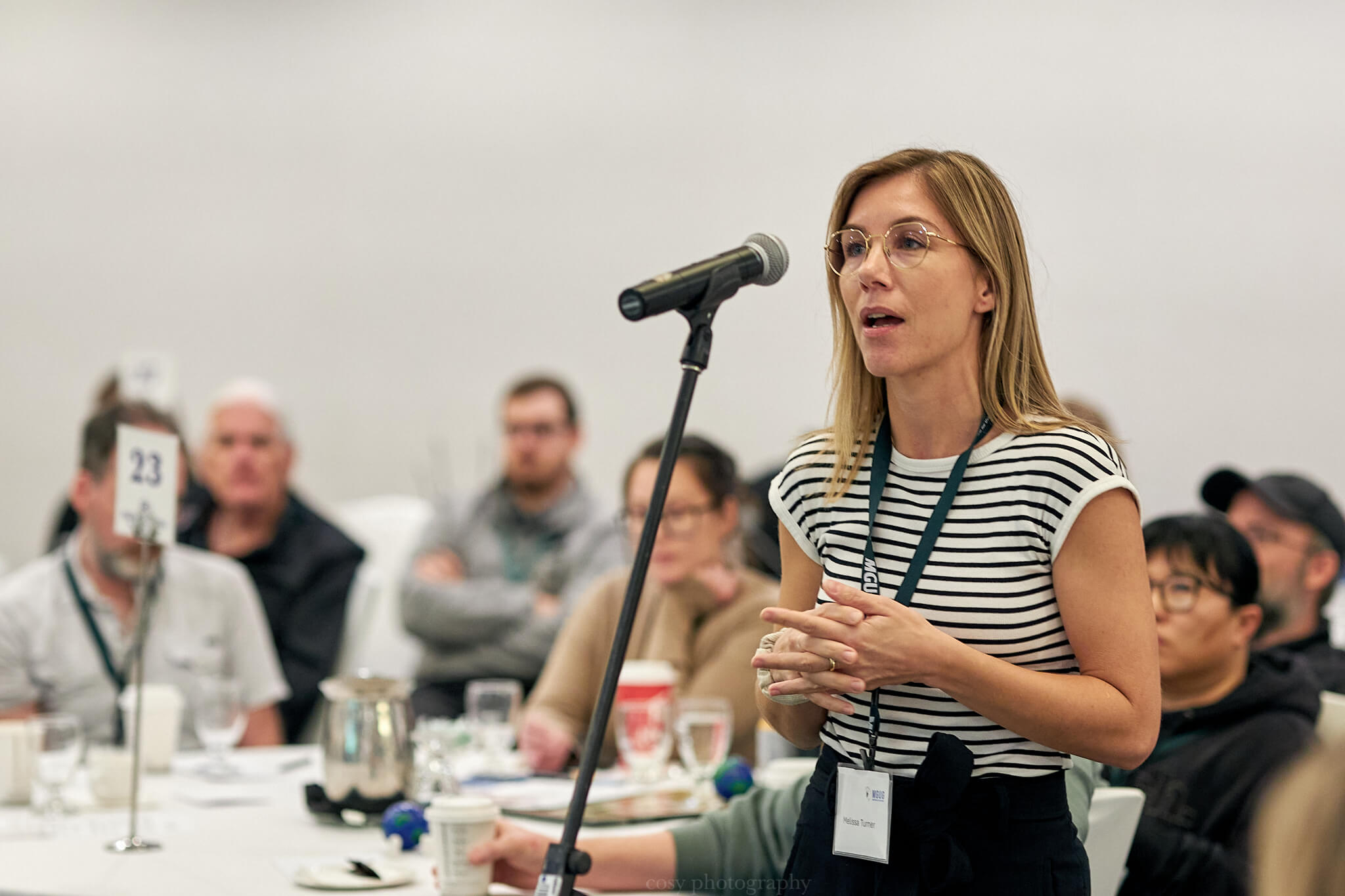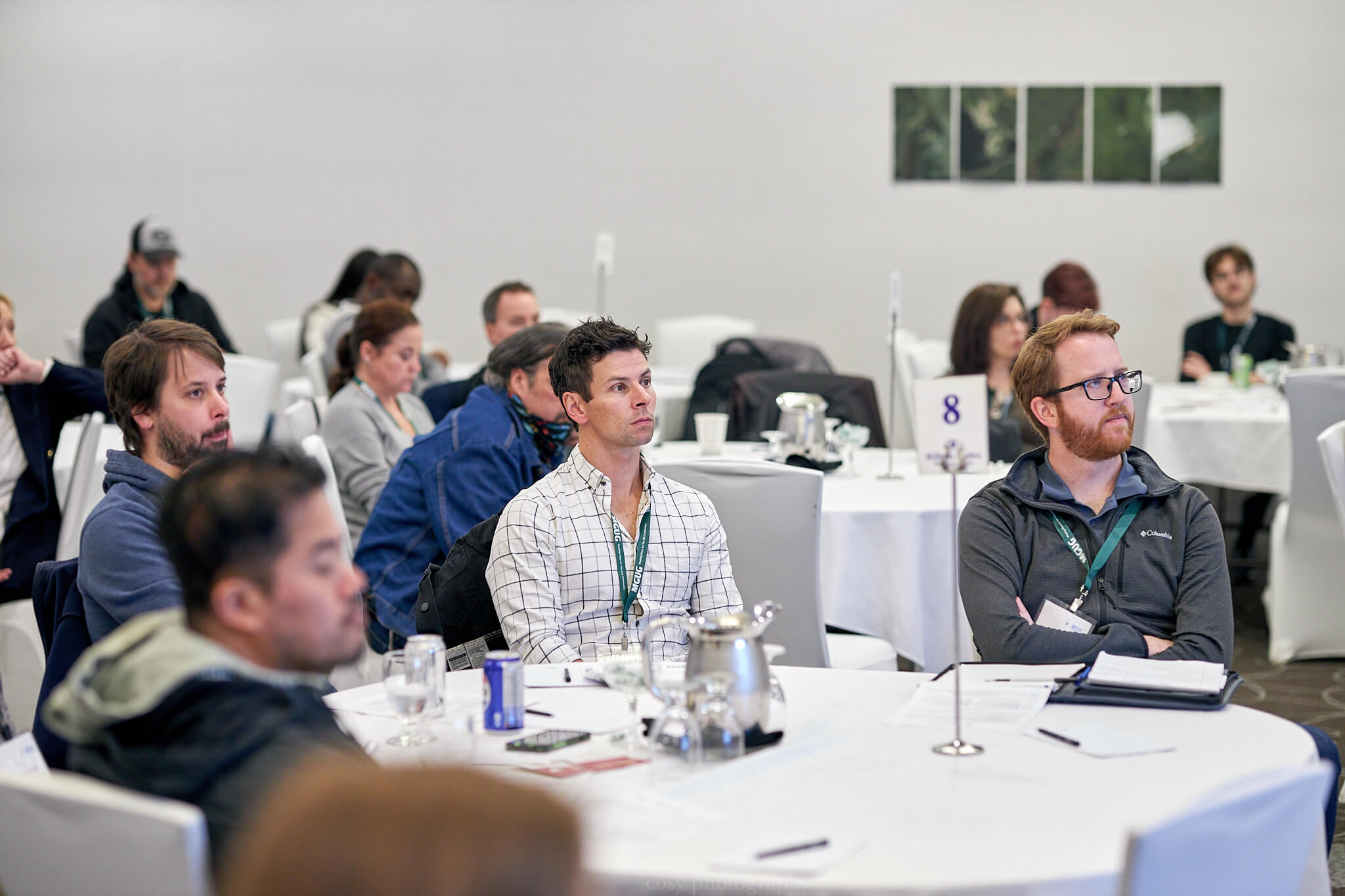
Our 2024 Annual Fall Conference was held in-person on October 29th at the Hilton Airport Suites. Please stay tuned for details on the upcoming 2025 Annual General Meeting, in which we will begin to publish updates in the coming months
If you would like to take a look at the presentations, as well as other event media, please see our Events Archive!
GALLERY
PRESENTATIONS AT THE CONFERENCE

Dr. Paul M. Cooley, Founder and President: NextGen Environmental Research Inc.
Bio: NGE is a clean tech firm that specializes in near real-time satellite imaging services and products. The corporation employs at the Ph.D., Masters, and college level with specialization in artificial intelligence and machine learning of radar and optical satellite imagery. NGE is currently developing several new satellite verticals from R&D undertaken by the firm including lake ice monitoring, overland flooding event monitoring, and harmful algal blooms.
Presentation description: This presentation will review advantages of C band Radar, the near real-time platform we’ve developed, some Deep Learning experiences, and outcomes for the use cases in lake ice hazards, overland flooding, and algal blooms.
Sibeal McCourt: Data Manager at Ratio.City, a division of Esri Canada
Bio: Sibeal is the Data Manager at Ratio.City, a division of Esri Canada, an online platform with tools to help municipal planners and housing suppliers address the housing crisis, through access to centralized data and GIS analysis. She has held multiple roles that leveraged GIS and data to address housing development and sales. She holds a PhD in Geography and a Master’s in Urban Planning, bringing a unique blend of expertise in the fields of housing and planning. She is passionate about sustainable and equitable solutions to complex urban problems, and is keen on public outreach and science communication.
Presentation description: This presentation will discuss the importance of GIS within all phases of the housing planning and development process in Canada, through both a public and private sector lens. I will discuss some key problems that I’ve come across, how GIS can help, and what it’s like working as a GIS expert in a field that often has low GIS technology adoption.
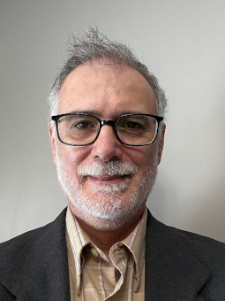
Gustavo Velasco: The University of Winnipeg
Bio: Gustavo Velasco is an instructor in the Faculty of Eduation and History Department of the University of Winnipeg. He uses GIS technology in his historical research in a field known as HGIS. His present research focuses on education inequality in Winnipeg.
Presentation description: My research project focuses on mapping students’ mobility in Winnipeg’s core area and examining its impact on their education. Specifically, I aim to investigate how changes in addresses and schools influence educational outcomes, with an additional emphasis on conducting a comparative analysis before and after the onset of the COVID-19 pandemic.
Lee Fedorchuk: Manitoba Government – Forestry and Peatlands Branch
Bio: Lee Fedorchuk has worked for the Forestry and Peatlands Branch, in a variety of capacities, for nearly twenty years. In 2018, he became the Branch’s Peatlands Program Lead, where he regulates the peat harvesting industry, administers The Peatlands Stewardship Act, and advances peatlands-related research projects, which includes work on improving the province’s understanding of the sustainability of peat resources. When not collecting peat depth data, he pursues music, writing, and doing a terrible job at gardening.
Presentation description: Using machine learning methods to produce province-wide datasets for peat depth and peat age, annual rates of peat accumulation, by volume, can be estimated. When these volumes are compared to harvested peat volumes, a fuller understanding of sustainability at the landscape level can be achieved. This presentation will discuss the peat harvesting industry, The Peatlands Stewardship Act, and how GIS and machine learning allows for an improved assessment of sustainability.
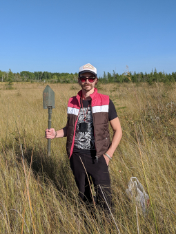

Robert Belton: Manitoba EDITNR
Bio: Robert has worked for the Manitoba Government since 2015, where he began working with GIS and flood information. After a stint at Manitoba Transportation and Infrastructure and Manitoba Emergency Management Organization, he works as the Provincial Toponymist, who maintains a database of official geographical names for the province. His current work is focused on recording traditional Indigenous place names in Manitoba.
Presentation description: Besides their essential role in navigation, place names tell us about the history of places, power structures, and geographical attributes. Robert will give a quick introduction to toponymy (the study of place names) and test your knowledge of Manitoba Toponyms!
Lauren Sheedy: University of Manitoba
Bio: Lauren Sheedy holds a Master of City Planning from the University of Manitoba and a Bachelor of Environmental Studies. Lauren’s educational background has provided her with an appreciation for the complex relationship between humans and our environment; something that she draws upon in professional practice. Lauren is currently employed as a Junior Planner at a planning consultant firm where she explores her interest in land use planning and community engagement.
Presentation description: In support of Spence Neighbourhood Association’s Indigenous Input in Local Housing Project, which aims to support Indigenous Community Members who are tranisitioning from home community to living in the city of Winnipeg, a user-friendly web app was created using GIS. This app features a map that is intended to help users locate the various organizations, charities, and businesses that provide housing services and resources within the city of Winnipeg. The housing services and resources included within this map are divided into three categories: Rental Housing, Housing Help & Resources, and Shelter & Housing Programs.
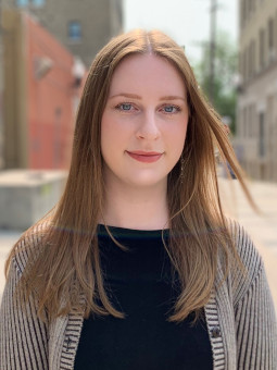
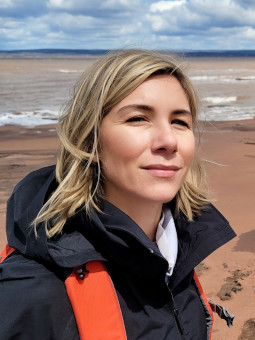
Melissa Turner: Oceans North
Bio: As a marine geographer, Melissa Turner works to conduct geospatial analysis and creates mapping products for Oceans North’s campaigns in the Arctic and beyond. She draws on a decade of experience providing GIS services to First Nations in Northern Manitoba and Western Ontario. She has worked as the GIS Lead on many traditional knowledge, land use, and occupancy studies, climate change risk assessment studies and environmental impact assessments. She earned her bachelor’s degree in geography from the University of Manitoba, where she focused on the geography of environmental changes and the application of geographic information systems. She is based in Winnipeg, Manitoba.ly 4 – 5 sentences.
Presentation description: Geographic Information Systems are essential tools for Oceans North’s efforts to protect and manage marine ecosystems. This presentation will demonstrate how GIS is used to analyze ecological patterns, design marine protected areas, and monitor environmental changes. Key applications include sustainable fisheries, habitat mapping, assessing shipping noise impacts on marine mammals, and climate change analysis. The presentation will also highlight the role of GIS in collaborating with Indigenous and coastal communities.
Sean Frey: Parks Canada, Onanole Fire Department
Bio: Sean has spent over 30 years applying geomatics tools to challenges in national parks. His love of maps, computers and the outdoors morphed into a job that has kept him keen to go to work that whole time. He likes to share ideas with people who share his passions.
Presentation description: In this age of rapidly acquired UAV imagery and orthophotos it can be challenging to keep track of everything. OpenAerialMap is an open platform that allows for easy upload, spatial browsing, automatic tiling, WMS access and seamless integration with OpenStreetMap.
Gordon Goldsborough: Manitoba Historical Society
Bio: I am passionate about Manitoba’s history. I have written five books about it, including the Abandoned Manitoba trilogy. I also have a weekly column on CBC Radio, write a weekly column in the Manitoba Co-operator, make videos on YouTube, am an editor of Prairie History magazine, and am the Board Secretary for the Manitoba Agricultural Museum. I am the Head Researcher and Webmaster of the Manitoba Historical Society.
Presentation description: I have spent the past 14 years mapping nearly 10,000 historic sites around Manitoba, about which I have written three best-selling books. Among the places I will talk about in this presentation are underground posts from the Cold War, an enigmatic concrete skeleton, and the original route of the Trans-Canada Highway.
Dean Hintz: Safe Software
Bio: Dean Hintz leads the Strategic Solutions team and serves as the Product Manager for Open Standards at Safe Software. He designs and prototypes data architectures and applications leveraging FME’s spatial data transformation platform. As the product manager for open standards, Dean oversees FME’s alignment with spatial data standards from organizations like OGC, Building Smart, IETF, W3C, ISO, EU INSPIRE, and NENA NG911. His work also focuses on sectors such as disaster response, environmental management, climate change, aerospace, scientific applications and emerging geospatial areas including GeoBIM, digital twins, and mapping of indoor and underground environments. Dean’s expertise extends to building complex data integration and automation systems, and he actively contributes to pilots, working groups, and industry conferences.
Presentation description: Modelling urban heat island effect in New York City as part of the 2024 OGC Climate and Disaster Resilience Pilot.
Big thank you to our sponsors!
