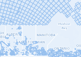
Manitoba GIS Data Resources
Access key datasets, mapping platforms, and open data tools.
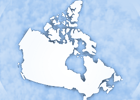
The Atlas of Canada – Toporama
A key source of geographic information for all Canadians
Government of Canada
FTP Geo Extraction Tool

StatsCan LODE Database Portal
Open databases are the core component of the Linkable Open Data Env.

Open Canada Data Portal
Access information to enhance accountability and transparency.

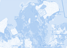
Manitoba Land Initiative
The last update was on February 9, 2022.
Manitoba Resources Portal
Maps related to the Oil and gas Industry in Manitoba.
Manitoba Geoportal
Access government data sets.

PEG Winnipeg
Tracking progress. Inspiring actions.

Winnipeg Open Data
Open data portal of City of Winnipeg.

Brandon Open Data
Datasets include governance, parks, infrastructure.

Manitoba Collaborative Data
Data Dictionary for Core Maps.
Ontario GeoHub
Find Authoritative Geospatial Data.
Prairie Climate Atlas
The Climate Atlas combines climate science, mapping, and storytelling.
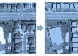
Microsoft Building Footprints
This dataset contains 11,842,186 computer generated building footprints.

Lake Winnipeg Data Stream
An open access hub for sharing water data.